OMIV Sites |
Other Sites |
Séchilienne |
La Valette |
La Clapière |
Villerville |
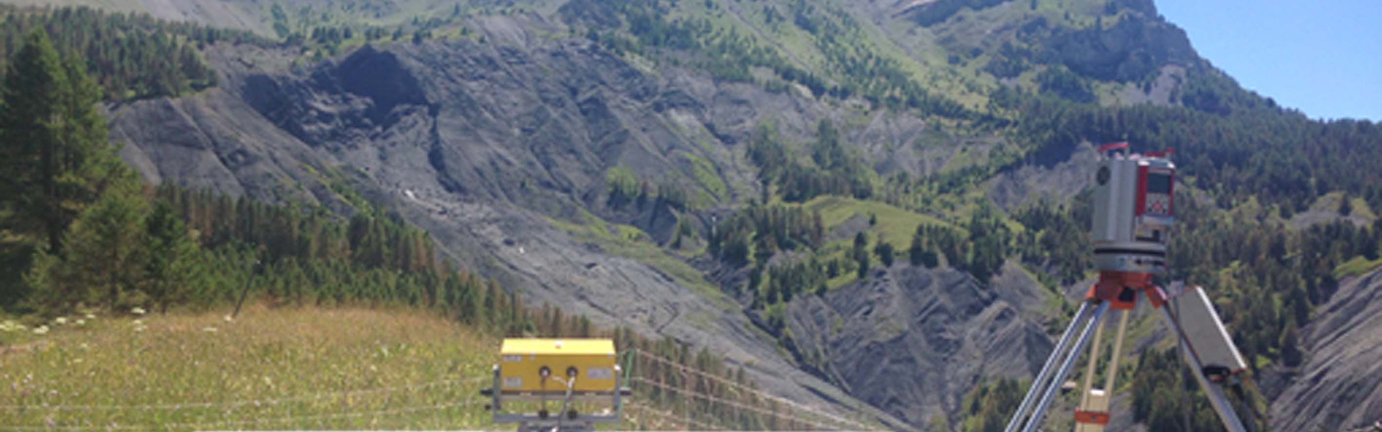
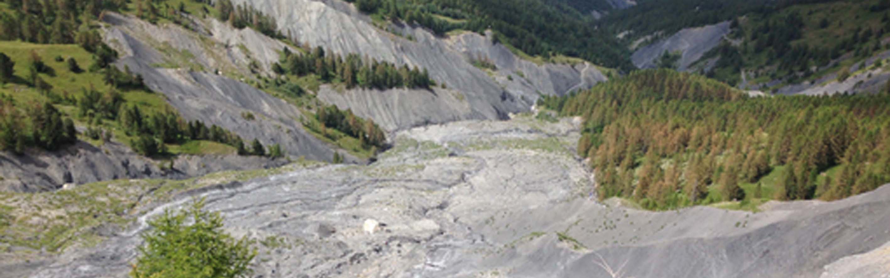
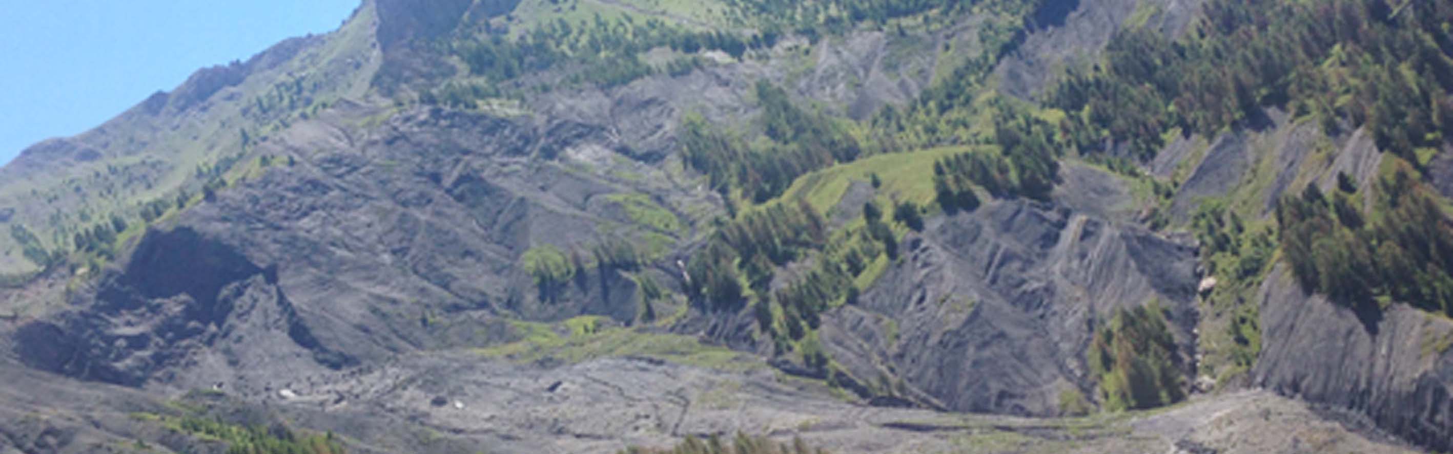
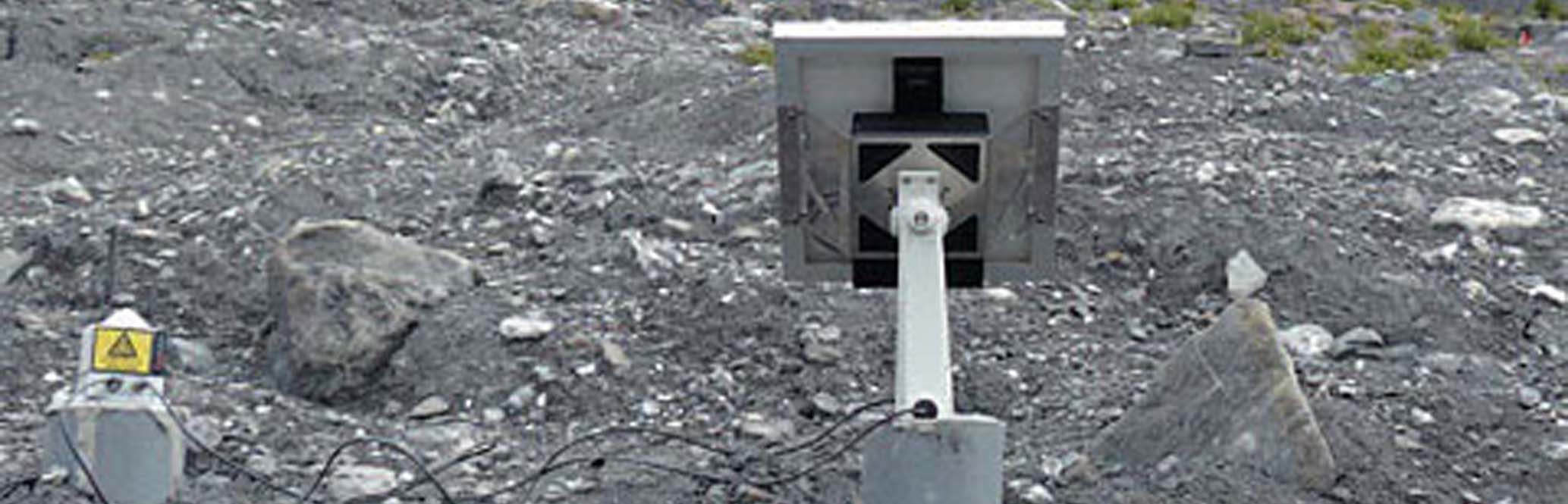
Super-Sauze |
Ubaye Valley |
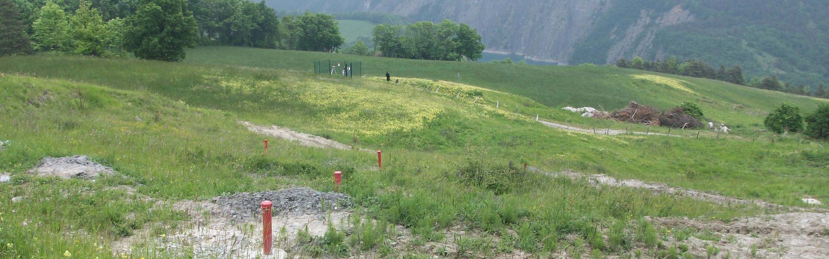
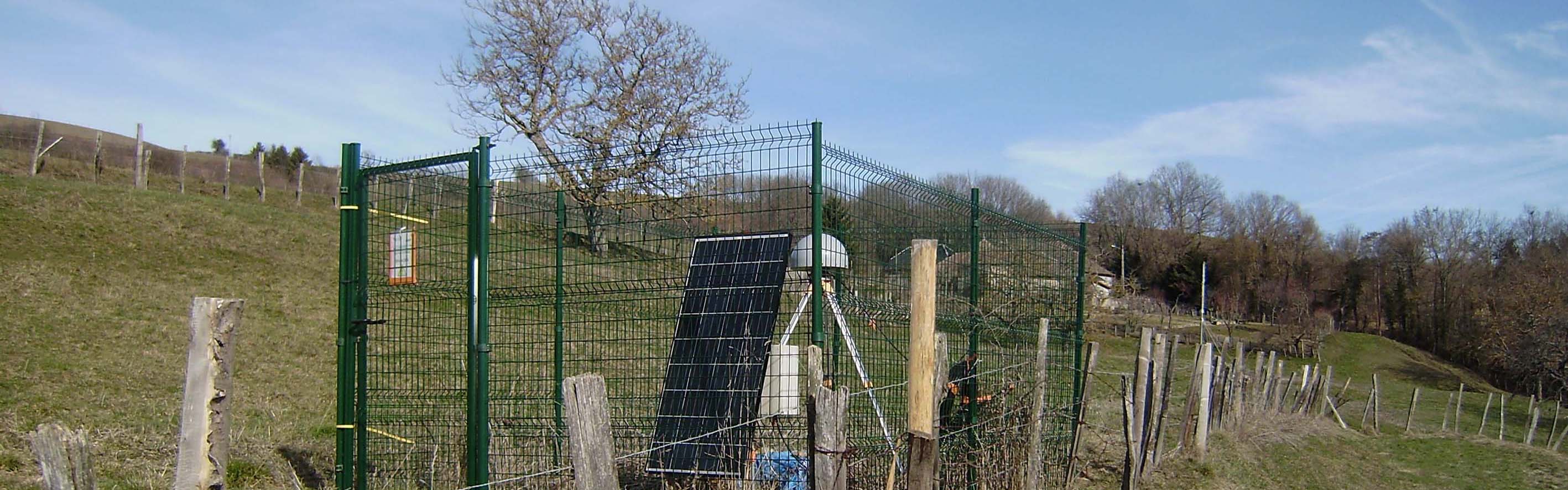
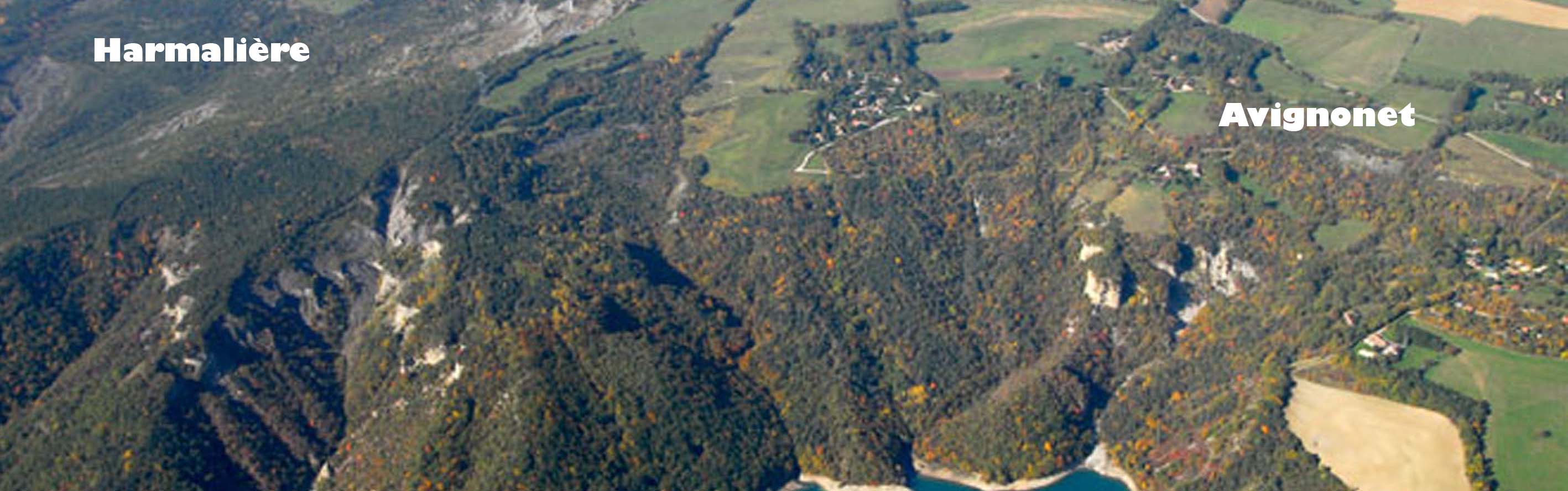
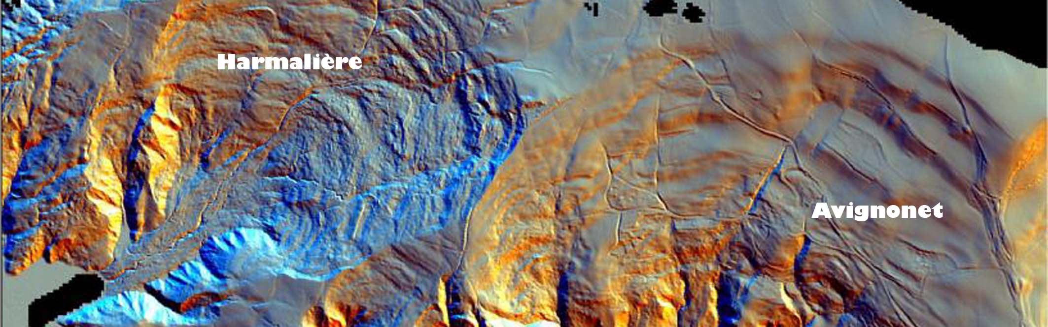
Mas d'Avignonet |
- You are here:
-
Home

- Publications


OMIV Sites |
Other Sites |
Séchilienne |
La Valette |
La Clapière |
Villerville |
Super-Sauze |
Ubaye Valley |
Mas d'Avignonet |