


Presentation
 |
 |
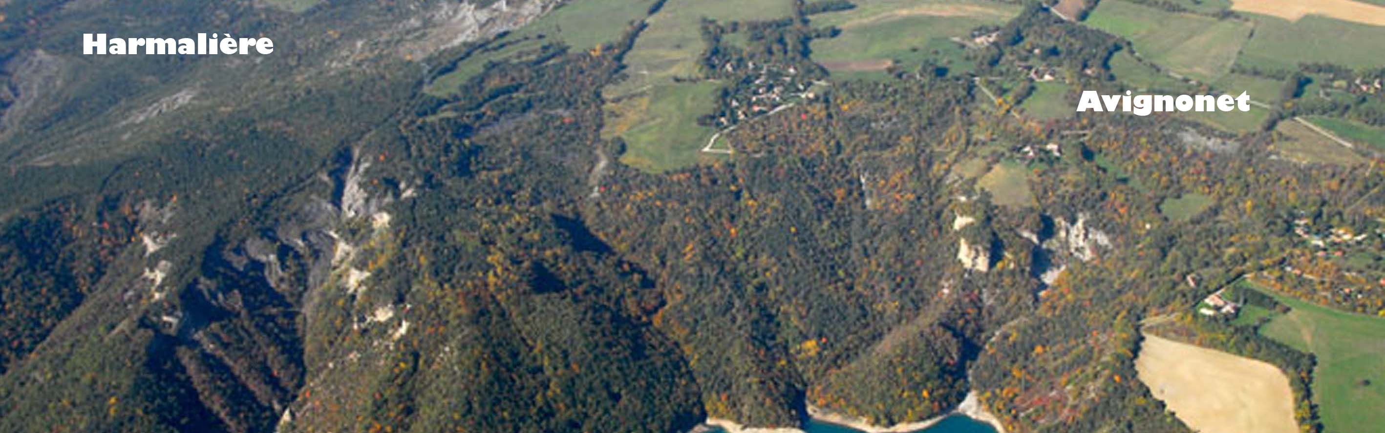
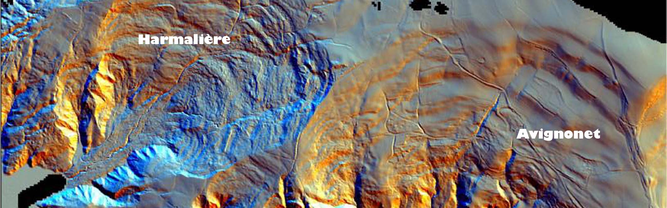
The Mas d’Avignonet is situated around 30 kms in the south of Grenoble in Trièves. Trièves morphologically corresponds in a wide depression profoundly bumped, of about 20 kms drained by Drac and its tributaries.
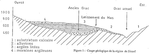 |
| Geological section of the Mas d'Avignonet (Antoine) |
The geological section of the figure presents the general geology of the site. The marno-calcareous substratum is surmounted on the West by clayey deposits, formed by clayey moraines and clays litters. By moving eastward, begin to show alluviums up to the current channel of the Drac.
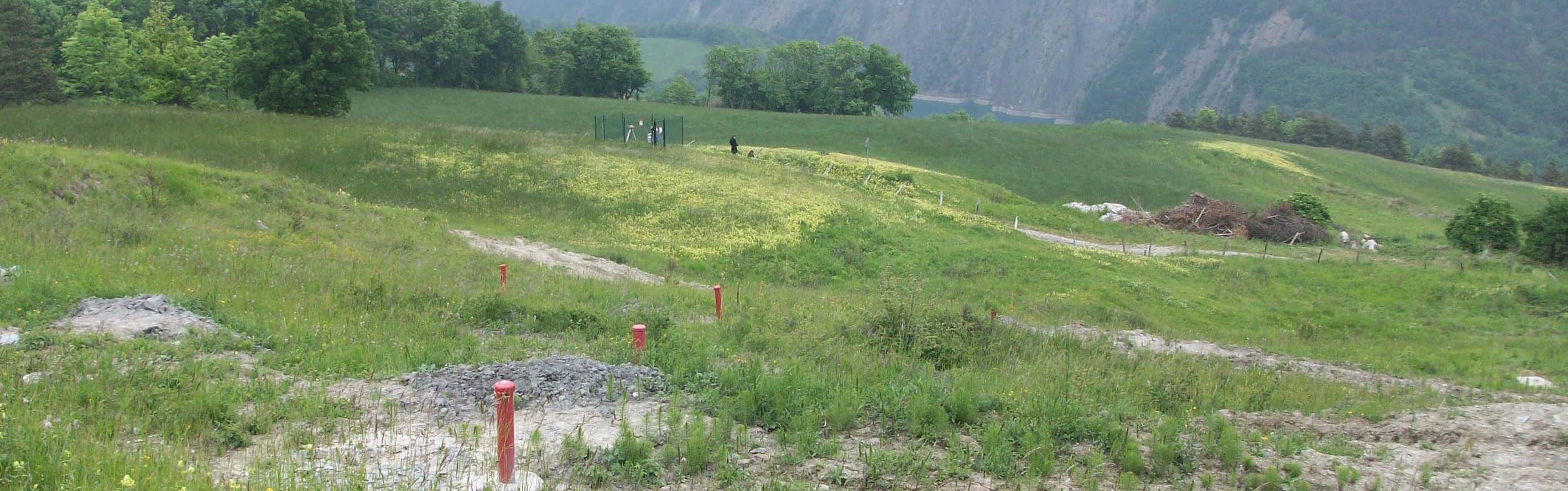
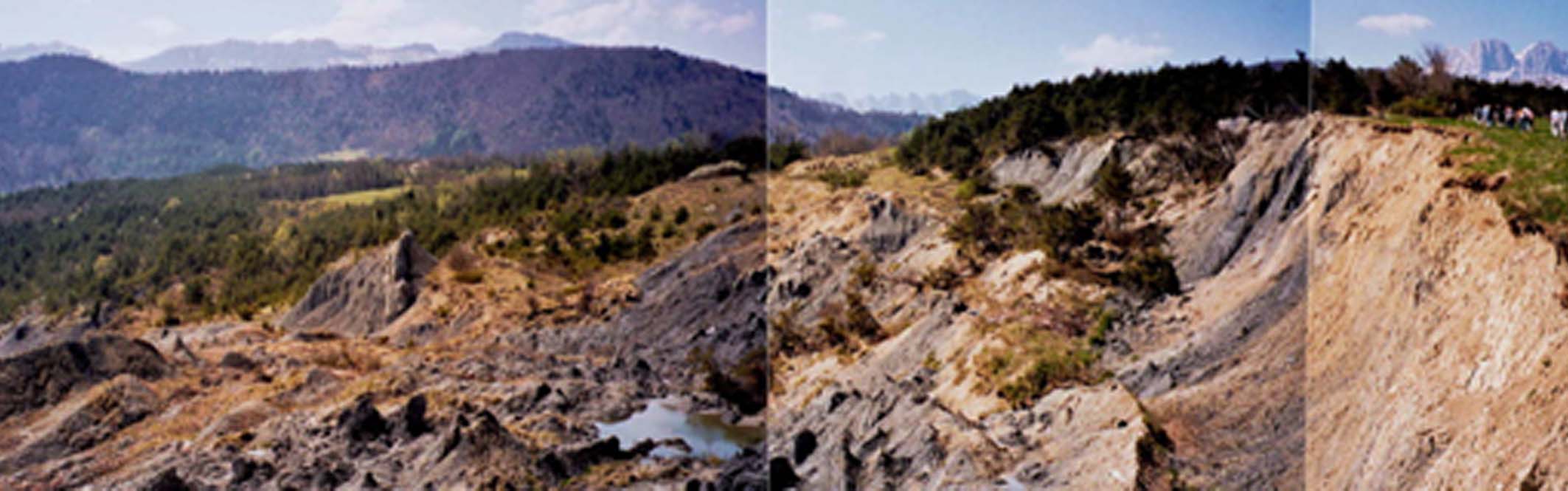
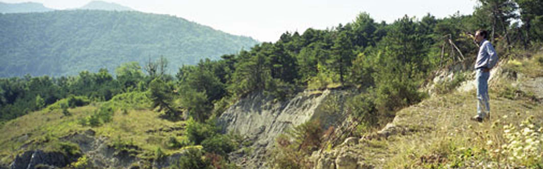
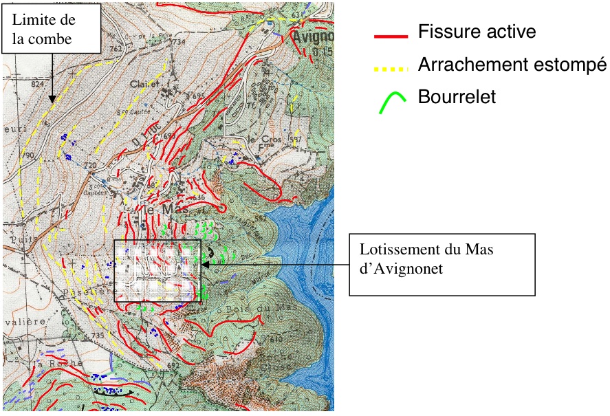
The natural hillsides, in clays litters, begin to present signs of instability as soon as the hillside exceeds 8 - 10 °. The morphological study reveals (Blanchet, on 1988) the existence of an ancient niche of wrenching attested by a scarp in its sommital part, between the quotations 740 and 810. This morphological scar constitutes the limit enter the plateau of Sinard (without indication of movement) and the comb presenting numerous forms of instability (undulations, more or less opened fissures, talus, etc.). These are particularly active below the access road to the estate, where the slope becomes stronger. At the Mas d’Avignonet’s housing estate, the inclinometric measures, reveal the presence of three different movements but which cannot be identified on all the inclinometers (Blanket, on 1988).
The slide surfaces are:
- Superficial movements of which the limit is situated towards 6m of depth. These movements correspond to a creep of the superficial slice of the ground according to the variations of water content (natural or caused)
- Semi-deep movements of which the thickness varies from 10 to 20m which seem comparable to slides of plans type
- A deep slide of circular type, revealed in approximately 43m and which presents most great danger for the safety of the housing estate considering the volume and considering the surface allocated
- A surface of sliding involving the comb of the whole Mas d’Avignonet is supposed (Blanket, on 1988) but no inclinometric statement was able to confirm this hypothesis
 |
| Morphology of the Mas d'Avignonet's comb (Beaurez, 2006) |
Monitoring data
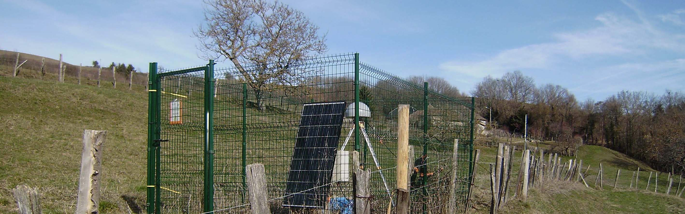
At the same time as the realization of drainage works intended to control the superficial movements, a monitoring system by topography and inclinometry was set up [Antoine, on 1990].
The surveys made regularly since 1985 highlighted active movements in the whole comb with velocities reaching 7 cms / year at the estate.
More details Here.