 |
 |
 |
Objectives
The task of the OMIV Geodesy Data Centre is to acquire, store and disseminate observations on the landside displacement and deformation pattern using different technologies:
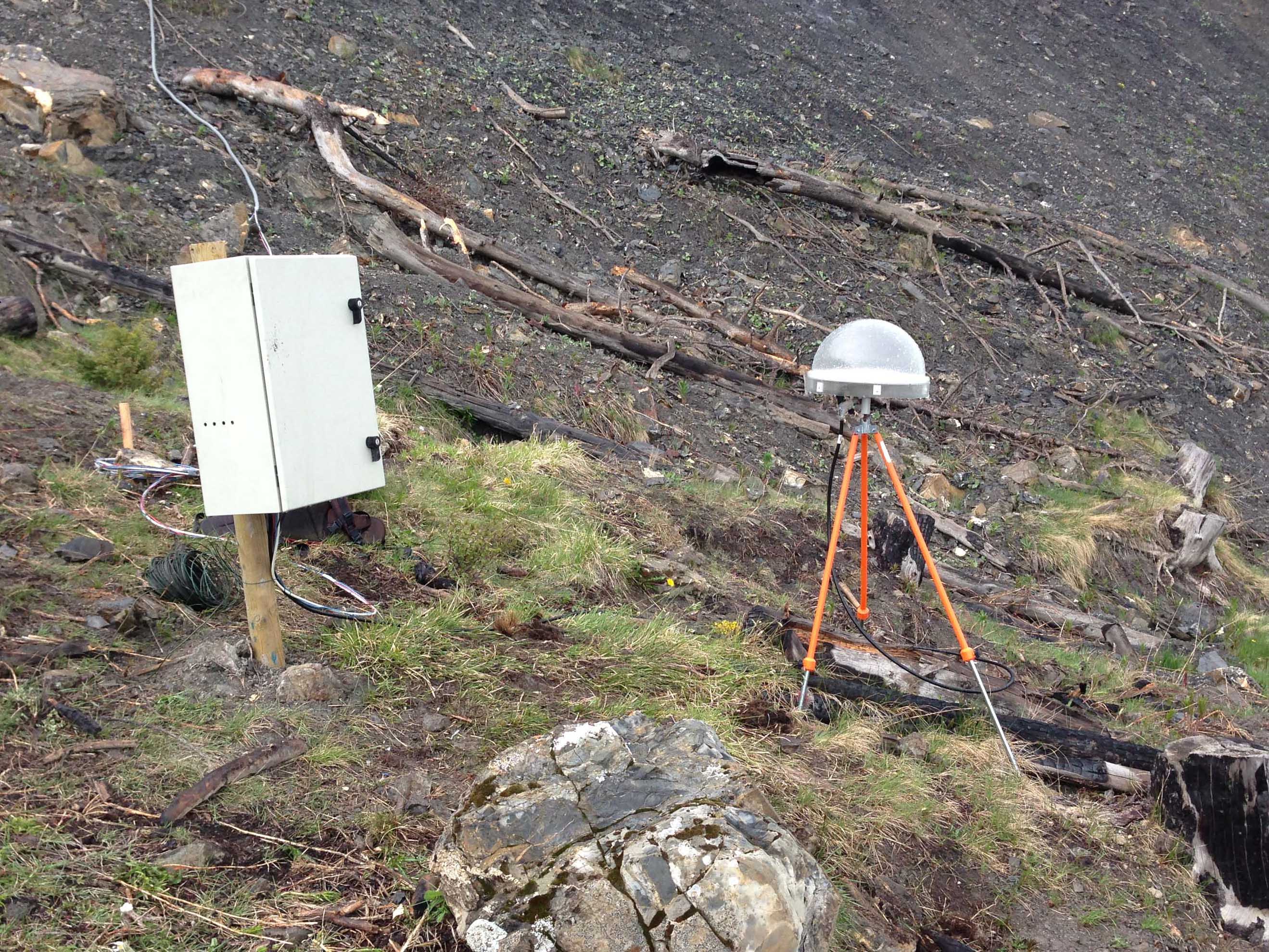
- permanent GNSS networks to monitor surface displacements (requested accuracy of the estimated East, North and Up coordinates: < 1 cm)
- permanent surveys of benchmarks installed at the landslide surface using automatic total stations (requested accuracy of the estimated East, North and Up coordinates: < 2 cm)
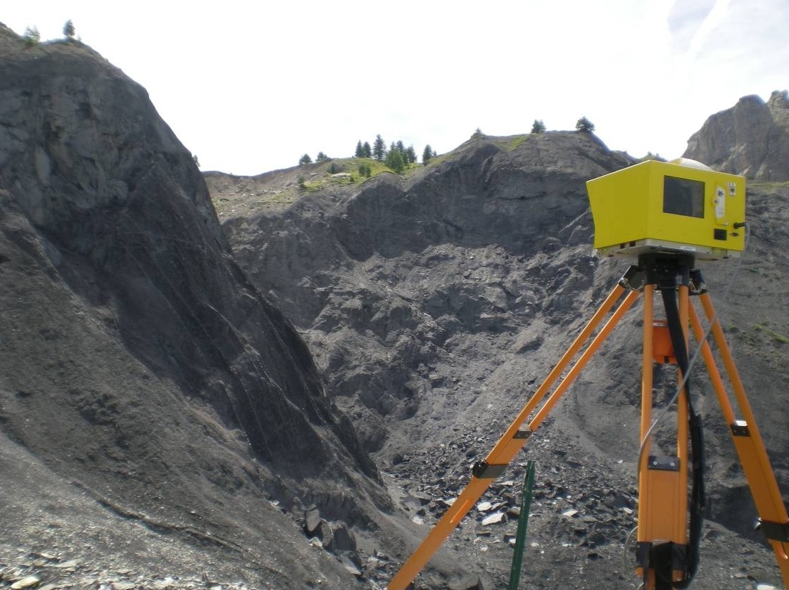
- campaigns of airborne and terrestrial LiDAR on the most active parts of the landslide to obtain images of the kinematics (requested accuracy of the estimated East, North and Up coordinates: < 4 cm)
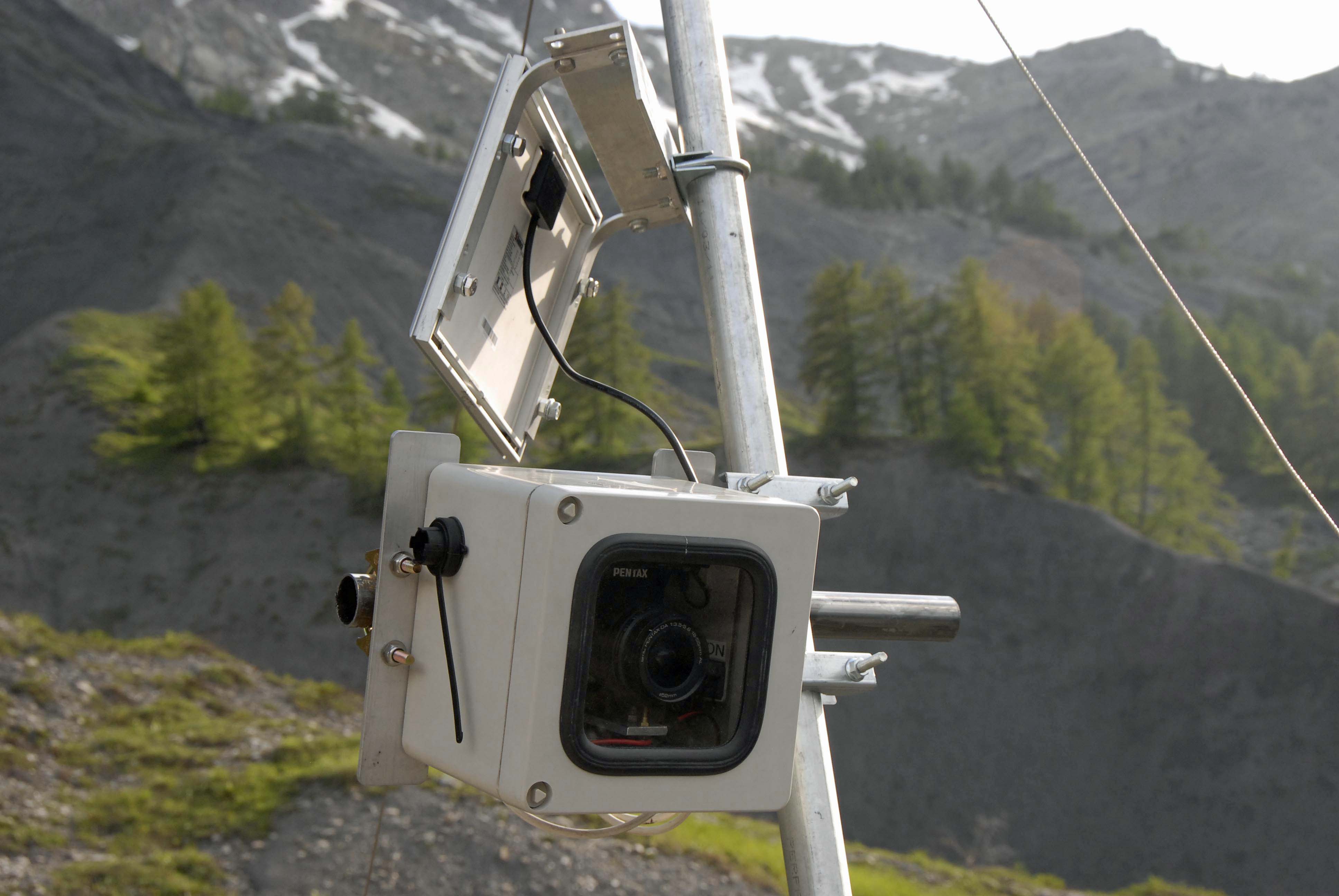
- permanent monitoring using terrestrial optical cameras and image correlation techniques (requested accuracy of the estimated East, North and Up coordinates: < 4 cm)
These observations are performed in close collaboration with local stakeholders and risk managers, such as RTM04 for Super-Sauze and La Valette landsides, CEREMA Méditerrannée for the La Clapière landslide, and CEREMA Rhône Alpes for the Séchilienne landslide.
OMIV Instrumentation
Status in September 2013
GNSS receivers:
- Séchilenne (1)
- La Clapière (3)
- Super-Sauze (3)
- Avignonet (3)
Total station targets:
- Séchilienne (15 targets), 6 hour acquisition, 6 months delay for data access (partnership with CEREMA Rhône Alpes)
- La Clapiére (25 targets), 6 hour acquisition, 1 year delay for data access (partnership with CEREMA Méditerrannée)
- Super-Sauze (30 targets), 6 acquisition per year, 6 months delay for data access
Terrestrial LiDAR acquisitions:
- Super-Sauze (6 scans per year, 2 locations)
Cameras for terrestrial image correlation:
- Super-Sauze (3)
Data Processing
GNSS receivers
Total Station Targets
Terrestrial Lidar
Cameras for terrestrial image correlation

