Presentation
 |
 |
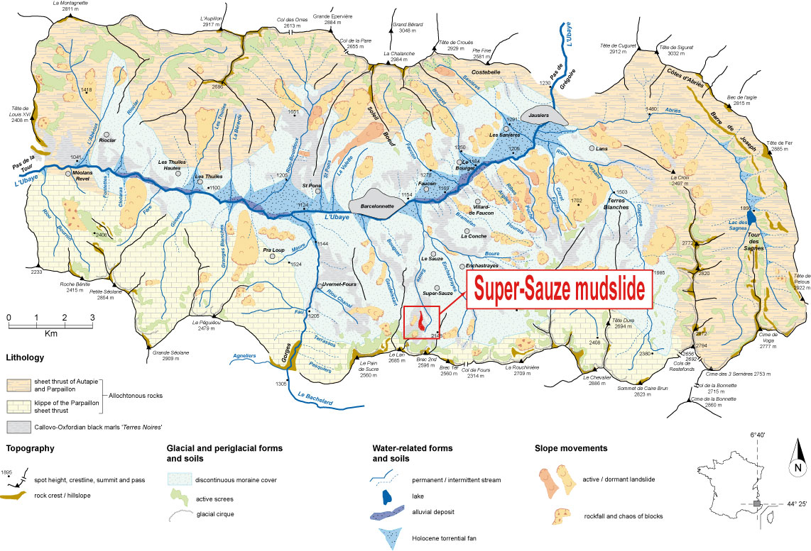
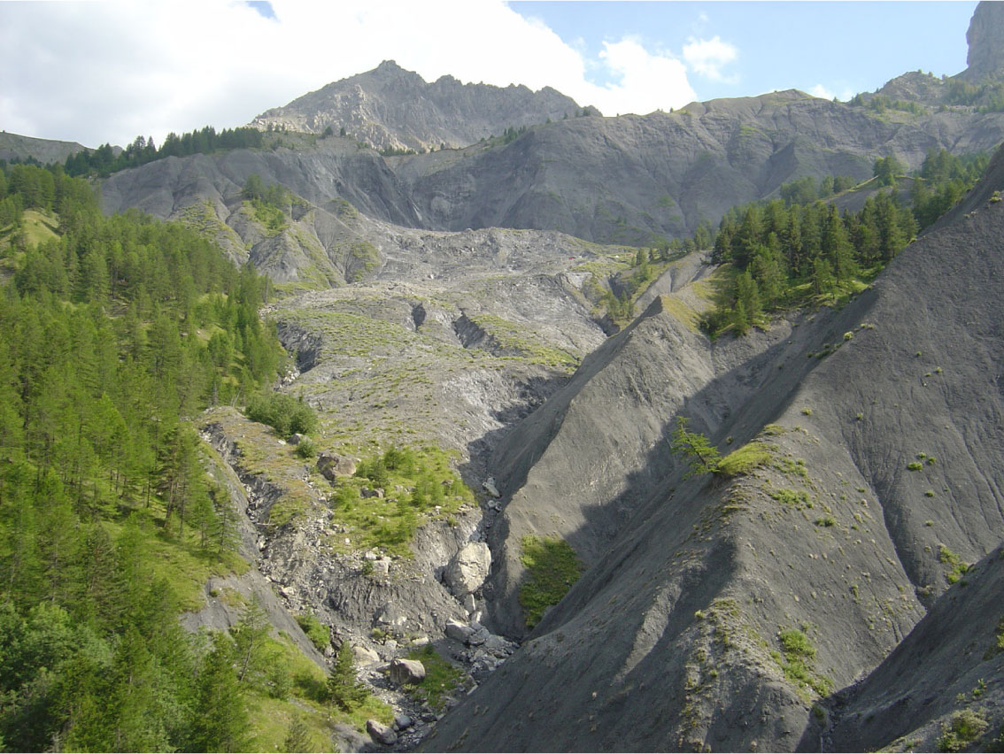
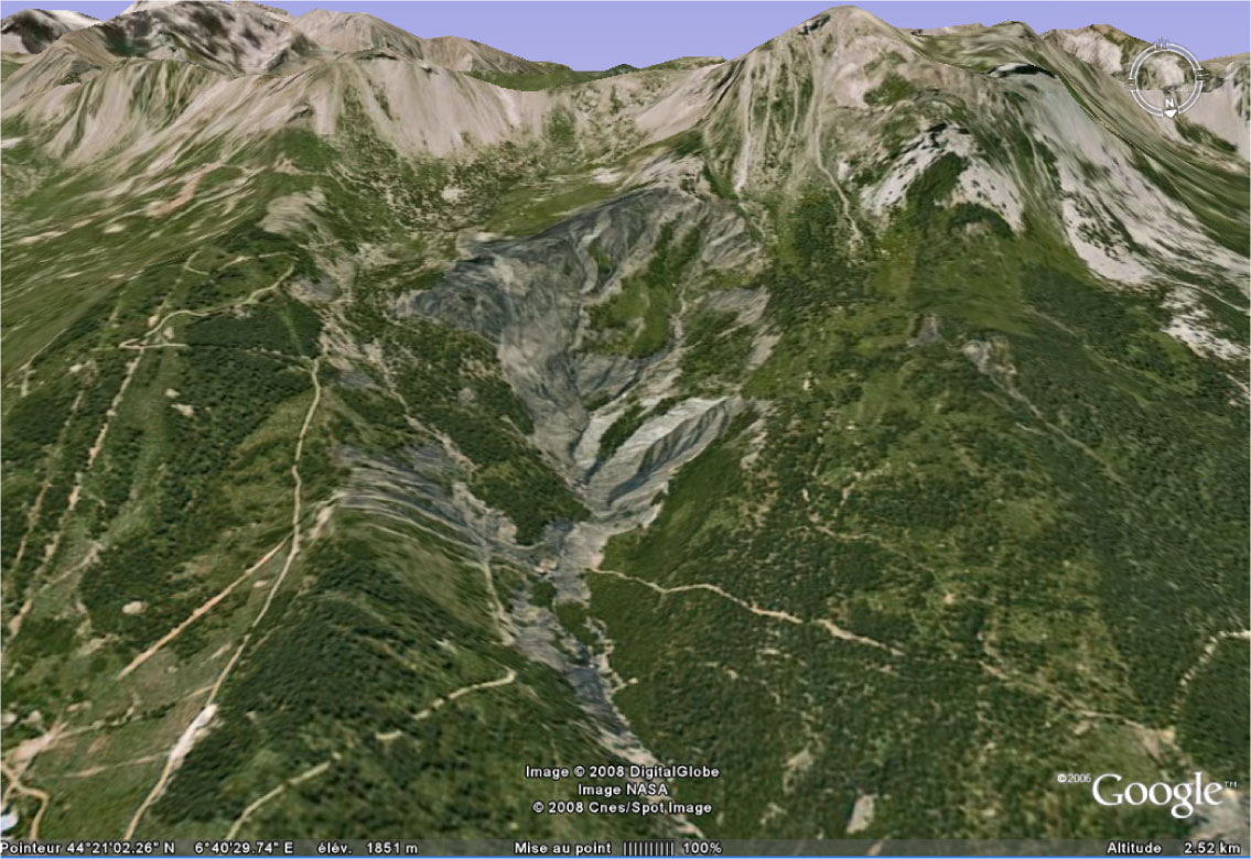
The Super-Sauze landslide is located on the North-facing slope of the Barcelonnette Basin (Southern French Alps). The landslide has developed in a torrential basin located in the upper part of the Sauze torrent, on the left side of the Ubaye valley. Triggered in the 1960's (the exact date of onset is unknown), the landslide is an example of complex landslides developed in soft clay-shales. It is located in the headwater basin of the Sauze torrent between 2105 m (crown) and 1740 m (toe) for an average slope gradient of 25°. It has a length of ca. 900m and an average width of 135 m. The total volume is estimated at 750,000 m3 and velocities lie in the range from 0.01 to 0.40 m.day-1.
The landslide dynamics is controlled by bedrock geometry, rock mass fabric, and hydrology.
Risk and major stakes
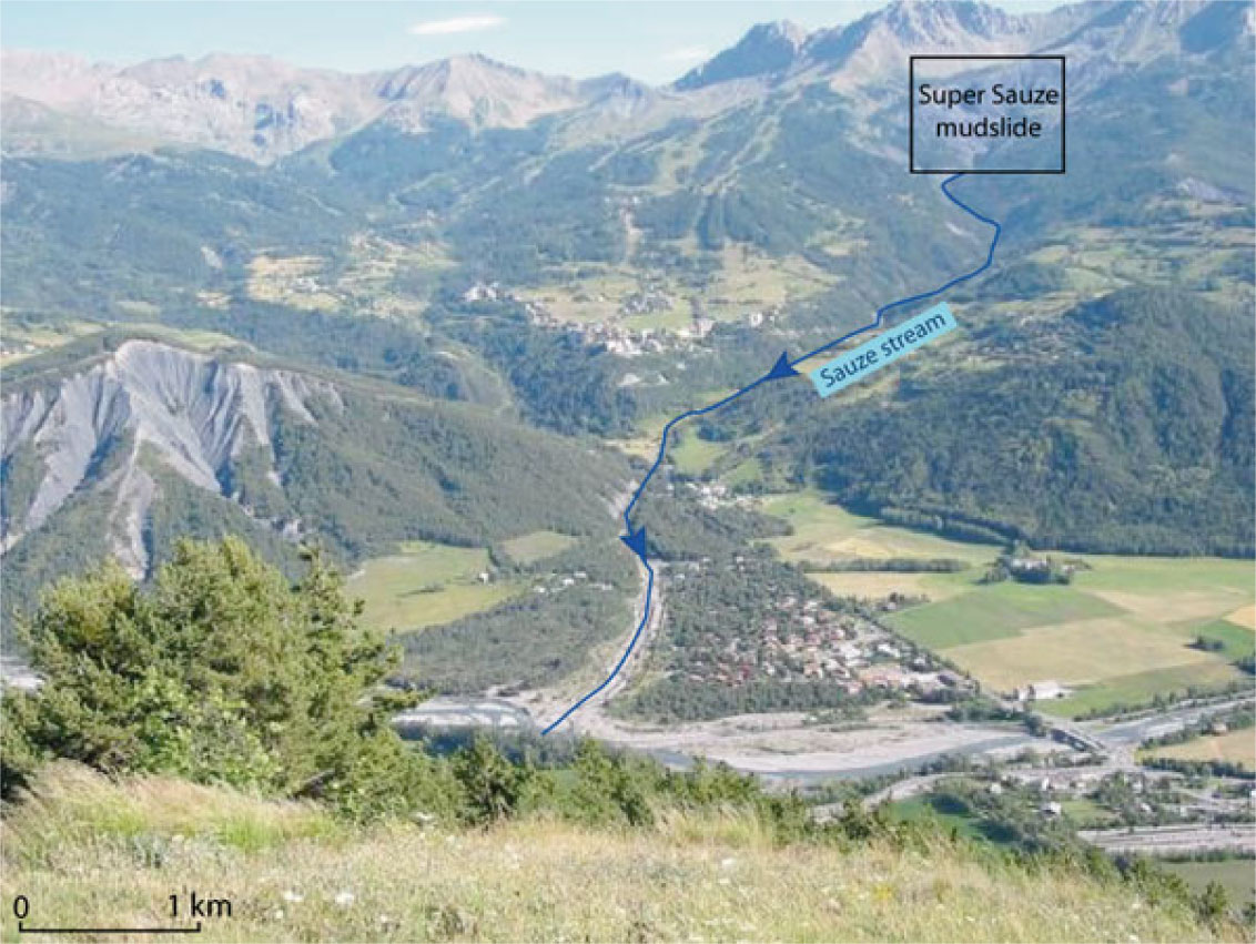
The level of risk may be high, as the mudslide is located in the upper part of a torrential risk basin. The torrential cone of the Sauze torrent is built up with many houses and infrastructures, and could be threatened by the release and the propagation of debris flows. The major risk scenario could be the geomorphological capture of the Sauze torrent in the headwater catchment with the retrogression of the main scarp of the landslide.
 |
 |
Monitoring data
Since the 1990's, the landslide is investigated by the School and Observatory of Earth Sciences, Institute of Earth Physics (Strasbourg) and several monitoring techniques are used to characterize its dynamics and mechanisms in relation to climatic and hydrologic conditions.
The Super-Sauze mudslide has been the subject of many research studies and several PhD or post-doc projects.
More details Here.


