Presentation
 |
 |
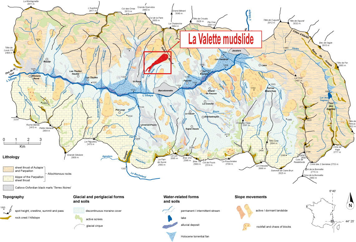
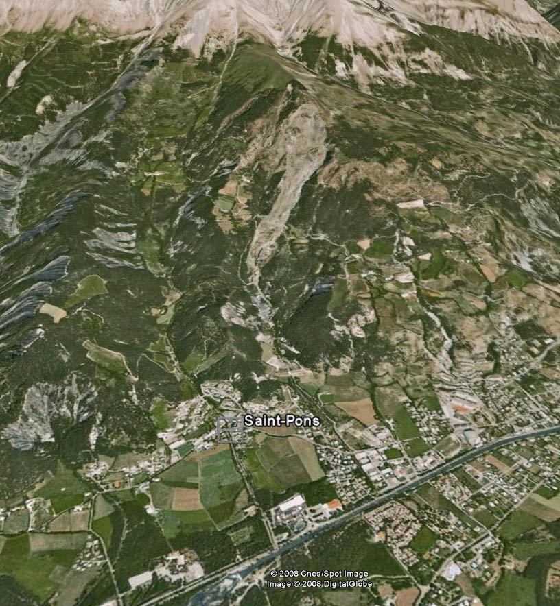
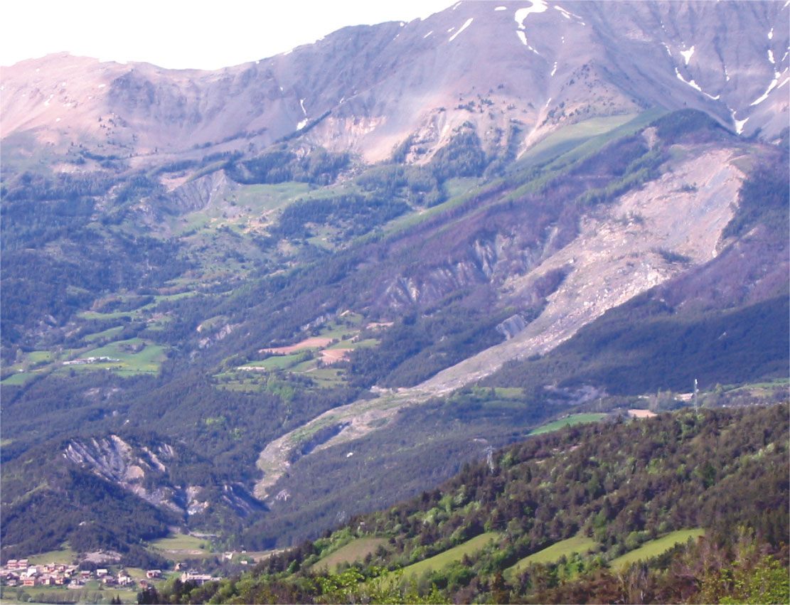
The La Valette landslide, triggered in March 1982, is one of the most important large and complex slope movements in the South French Alps. The landslide affects a hillslope located uphill of the municipality of Saint-Pons in the Barcelonnette basin (Department of Alpes-de- Haute-Provence, France) and is an important threat for around 170 community housings located downstream. The La Valette landslide is a case of reactivation of an older landslide and is characterized with a succession of individual slides as it is often observed in deep-seated landslides. 3.5 10 6 m3 of material are mobilized over a length of 2 km for a variable width of 0.2 km in the lower and medium parts of the landslide, to 0.5 km in the upper part). The mean slope gradient is ca. 30° in the scarp area and ca. 20° in the landslide area. The maximum thickness varies from 35 m in the upper part to 25 m in the medium and lower parts. For the period 2005–2010, the observed average displacement rate is comprised at 1 to 2 m.year −1.
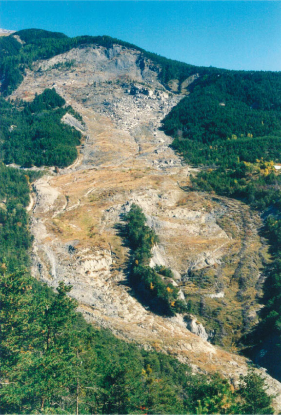
The landslide associates two styles of activity: a flow type of behavior with the development of a flow tongue in the medium and lower part and a slide type of behavior with the development of several rotational and planar slides of coherent blocks in the upper part at the main scarp. Uphill, the slides in the crown area are included in a deeper wedge failure system constrained by pre-existing fractures. The failed mass has progressively loaded the underlying black marls formation, and the landslide has developed by a series of rapid mudflows triggered in the marls such as in March 1982, April 1988, March 1989and March 1992. The most important acceleration occurred in 1988 when a mudflow of 50,000 m3 propagated over a runout distanceof ca. 500 m. Up to now, these mudflows did not mobilize the complete failed mass. The consequence of the accumulation of material in the middle and lower parts is an increase 188 in slope gradient and in elevation of the topographic surface. This storage of material is associated to the presence of a stable crest in the lower part that forms a buttress to the progression of the material downhill.
| La Valette mudslide from the bottom in 2001 and schematic cross-section |
Risk and major stakes
The level of risk is high, as several surges and the triggering of rapid mudflows have been observed in 1988 and 1992. These mudflows were considered to be a serious threat to the community of Saint-Pons located downstream, and the local stakeholder RTM (of Department Alpes-de-Haute-Provence) is in charge of developping and maintaining remedial measures to prevent further movement, and an early-warning system.
Since 2001, an important retrogression of the main scarp and the crown is observed. The failed material from the main scarp is progressively loading the upper part of the accumulation zone, which is a prohibited area since 2006.
Monitoring Data
Since the 1990’s, the landslide is investigated by the local risk managers in Barcelonnette (RTM: Restauration des Terrains de Montagne), and since 2007 by the School and Observatory of Earth Sciences, Institute of Earth Physics (Strasbourg), in coordination with the French Geological Survey (BRGM: Bureau de Recherches Géologiques et Minières). Several monitoring techniques are used to characterize its dynamics and mechanisms in relation to climatic and hydrologic conditions. Mitigation works have been constructed (drainage system, storage reservoir) and an early-warning system is maintained by RTM.
 |
 |
More details Here.


